Time to catch up!
Back in about May, we actually had a spell of really good weather, so I decided to take a day out and do a road trip I haven't done for years - all the way around the top end of Scotland. Not exactly a green activity, but the scenery is fabulous, and the trip practically impossible by public transport (certainly, you couldn't do it in a day!)
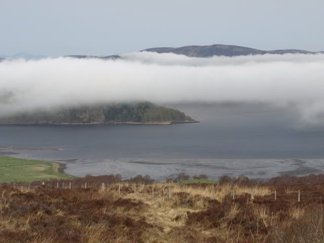
So off and away - later than I'd hoped, about 9.00 in the morning, and heading west towards Inverness and the Highlands. From here, I turn north, crossing the inner Moray Firth, across the Black Isle, and over the Cromarty Firth, with the tide right out and vast expanses of wader-friendly mud and sand.

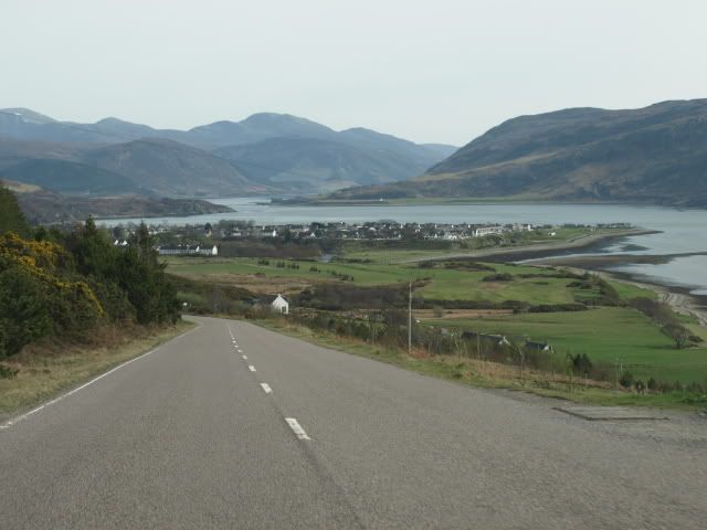
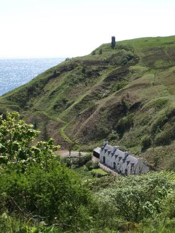
Keep going north. The road follows the shoreline, the hills rising away to the left, covered in gorse and glowing like some crazed artist has splashed everything with chrome yellow. This is clearance country, a thin strip of farmland crammed between mountains and sea. The railway shares the route as far as Helmsdale, often running with its tracks almost in the water, before heading inland to Georgemas Junction and the northern towns. I follow the coast.
Passing a stand of conifers, it looks as if someone is burning off brushwood, or applying chemicals, but the yellowish fog spreads through the entire plantation, blowing inland on a strong easterly; I realise in amazement that it's pollen from the trees, windborn and guaranteeing a good crop of cones later in the season.
The road is quite winding and with some steep sections; not the place to find a gigantic slow-moving crane coming the other way. I pull in and let it roll down the hill.

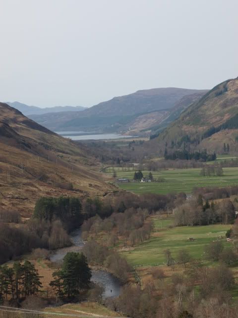
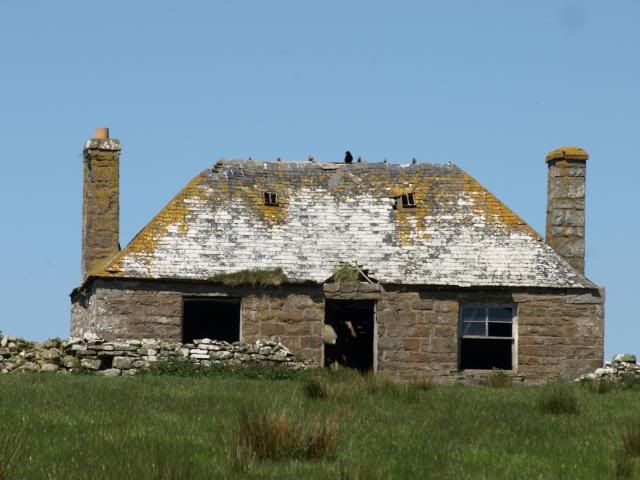
Above the last valley, the road crosses an open and quite bleak landscape, treeless, hedgeless; for previous visits I remember fences made of flagstones and look for these, but most seem to have been replaced by the ubiquitous barbed wire. Older houses are roofed with the stone, though. Unlikely to blow off in the wind, I think.

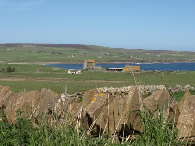
I pass through Wick, on my way to the northern tip of mainland Britain. There are houses here that have been around for centuries; old fortified places that look more like small castles.

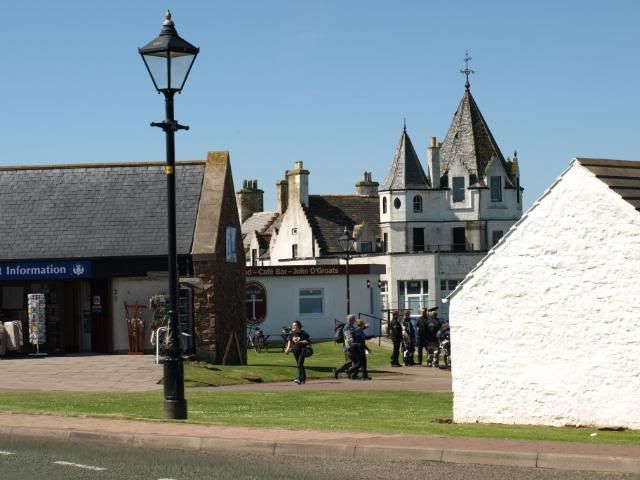
I'm on the way to Dunnet Head, the real northern point - but first, a more traditional and better known place - John o'Groats. It's busy on a day as fine as this, with bikers and happy-snappers, and souvenir shops. I don't hang about.

There's a haze along the horizon, which means the view across the Pentland Firth isn't as clear as I'd like, but some of the distant lighthouses can be made out on Stroma and Hoy, as well as some of the ancient sandstone seastacks; you can't quite see the Old Man of Hoy from here.

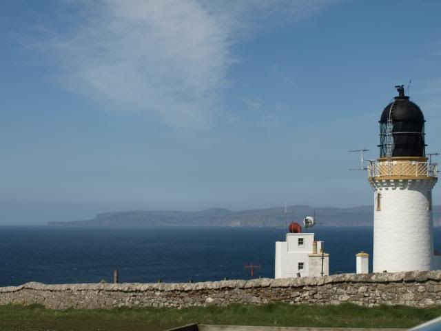
Dunnet Head is now an RSPB reserve, and there is time to chat with a group of birdwatchers; what have you seen? The lighthouse is as far as you can go by road, and overlooks a steep cliff thronged with birds, and the glinting, choppy water far
below.

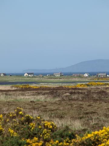
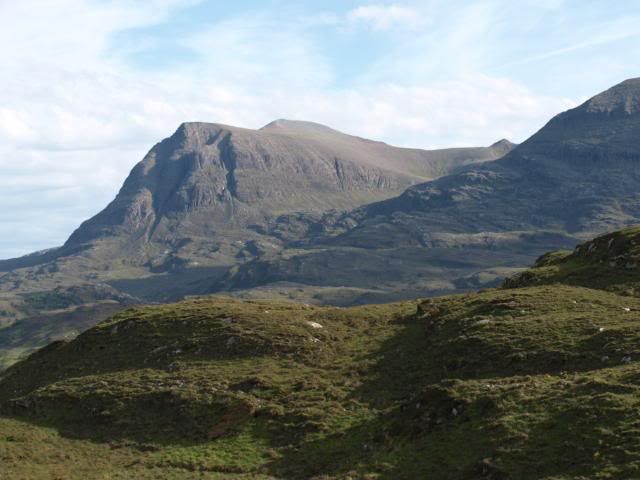
Westwards now, and into the wilds of Sutherland. Mountains rise abruptly from wide Flow country - expanses of bog, where plover and redshank breed amidst pools of brown peaty water. Beyond Bettyhill, the mountains take over; the journey so far feels like I've been climbing from green soft shores to ever wilder and desolate country.

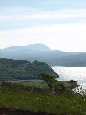
Ben Loyal is the biggest of the mountains laid out before me, forcing the road to follow the coastline, winding along the edges of the deep inlets, the Kyles of Tongue and Durness. There are gorgeous beaches along here, hidden gems of pale sand and unexpectedly blue sea.


At Durness there is no choice but to turn south. You
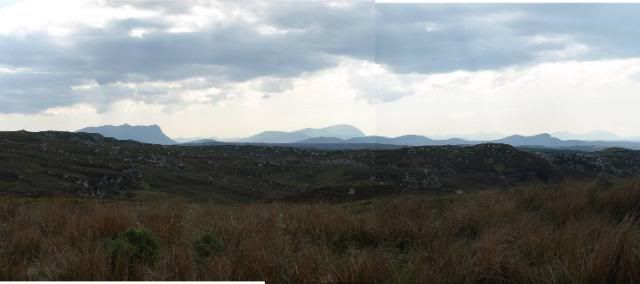
can get to Cape Wrath from here, by means of foot ferry and a minibus along a rackety road to the far west corner, but it's well into the afternoon by now, and there's no time; instead I head down through the mountains towards Assynt. The name means something like rough land....

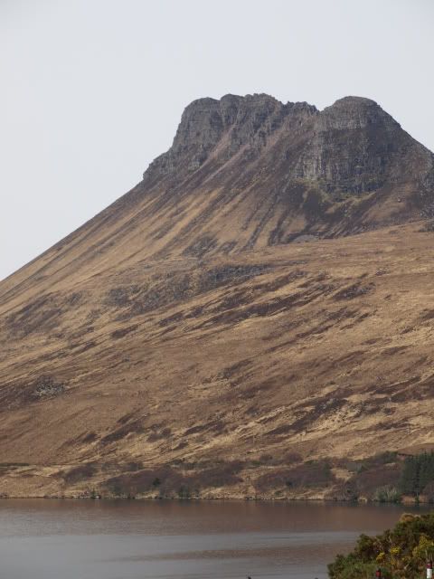
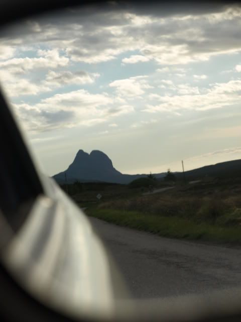
I'm running out of time. If I'd set off earlier, I might have made it as far as Ullapool; as it is, it's time to turn for home, and do the rest another day. At Ledmore Junction, I turn south-east, back towards Inverness, with the bulk of Suilven rising in my rear-view mirror.

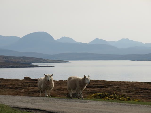
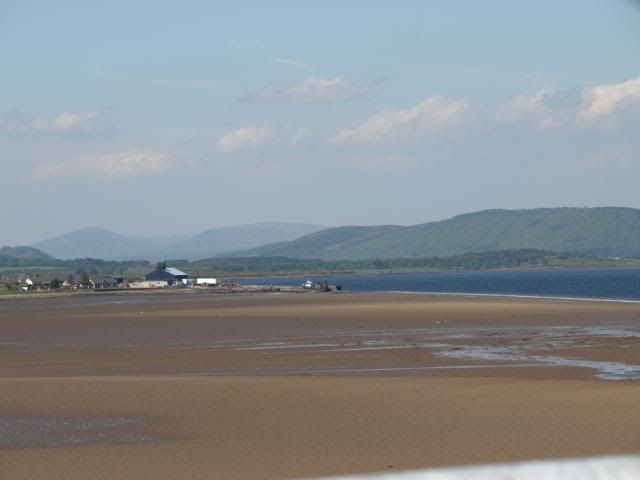
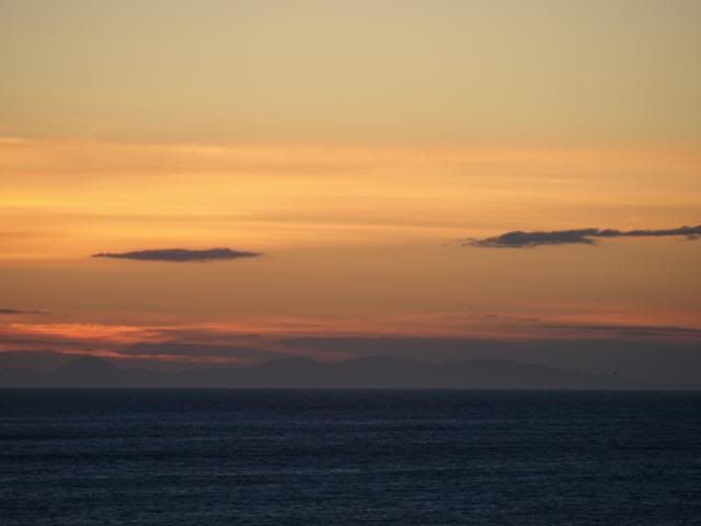
Almost home now, and the light fading rapidly - well it is almost 11.00 pm! I pause at Cullen to take a final shot of the distant hills across the Moray Firth.

And people ask me why I want to live in Scotland?